GeoTechControl
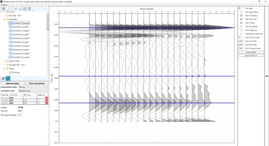
The GeoTechControl software is designed for processing and interpreting data obtained by the seismoacoustic method of surveying building structures
GeoTechControl allows:
- To process the data obtained by Sonic Integrity Testing for solving geotechnical problems
- determinations of piles’ length
- determination of piles' integrity
- Conduct dynamic attribute analysis of seismic gathers:
- for searching for weakened piles with reduced concrete strength
- for evaluation of pile-soil contact conditions
- for assessment of the condition of the foundation slab with ground
- for searching for voids behind tunnel lining
- Solve other geotechnical problems related to the processing of seismoacoustic data
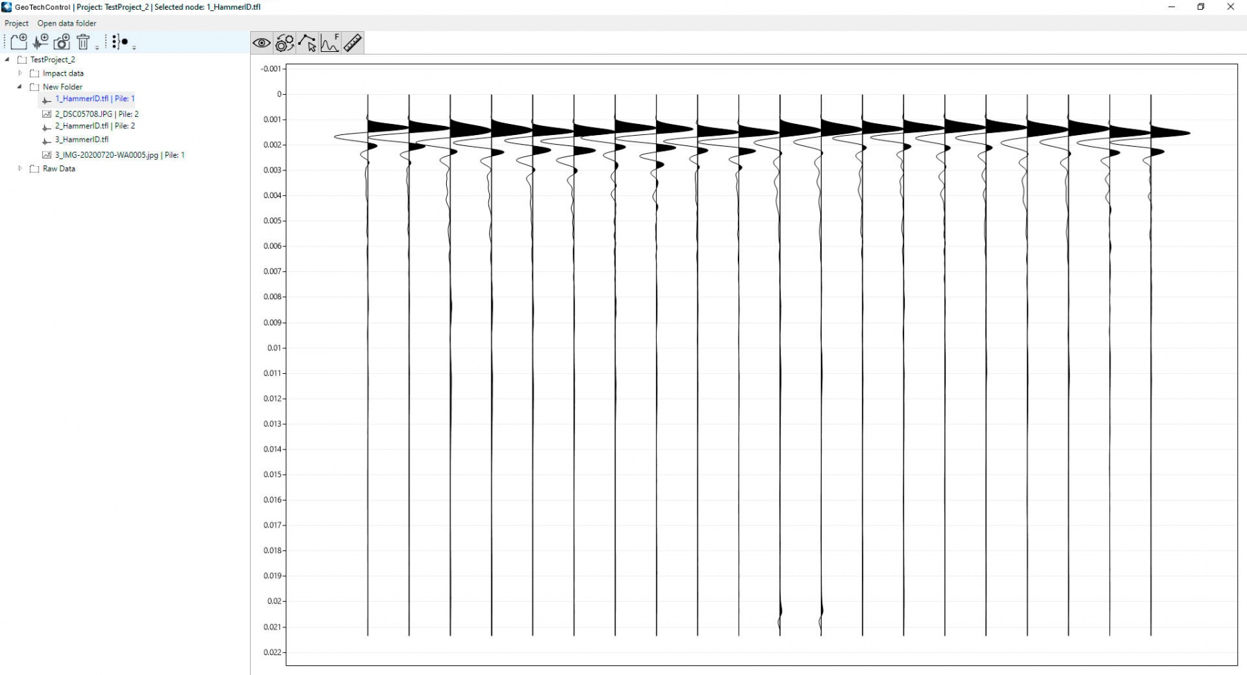
Impact method (Pile/Sonic Integrity Testing) is a method of nondestructive testing of foundation integrity through the propagation of acoustic waves. During testing, a shock wave is being excited and propagates through the concrete structure. Then, the recorder receives a signal of the medium's response.
There are several options for further processing:
- Data processing in time domain (Pulse-Echo or Sonic-Echo Method)
- Data processing in frequency domain (The Transient Response or Impulse Response)
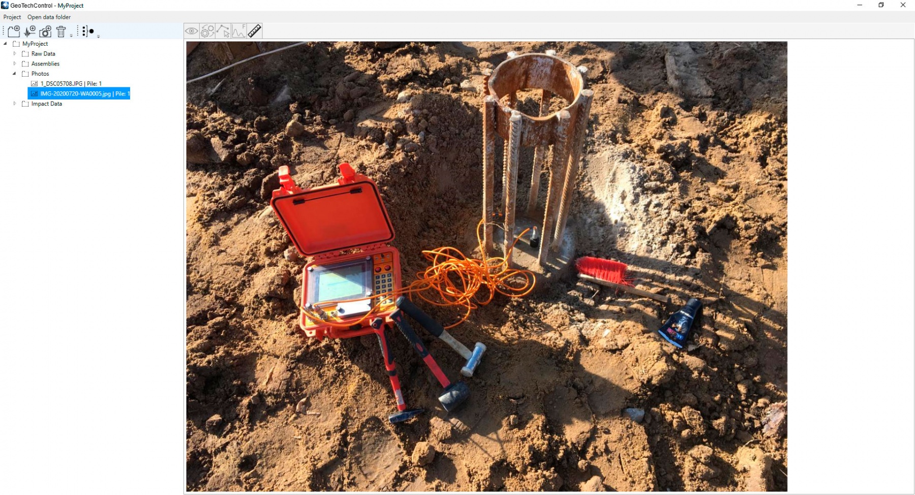
In GeoTechControl, a simple method of data input from any instruments recording data in SGY format (IDS-1, IDS-2, Sigma-4, etc.) and linking of photographic test information is implemented. Automatic and manual assembly of seismic gathers for further processing is realized by the following procedures:
- DC removal
- Automatic and manual static correction
- Trace rejection
- Amplitude correction
- 2D spatial filtering
- Attribute analysis (building the attributes map for impact method)
- First break picking
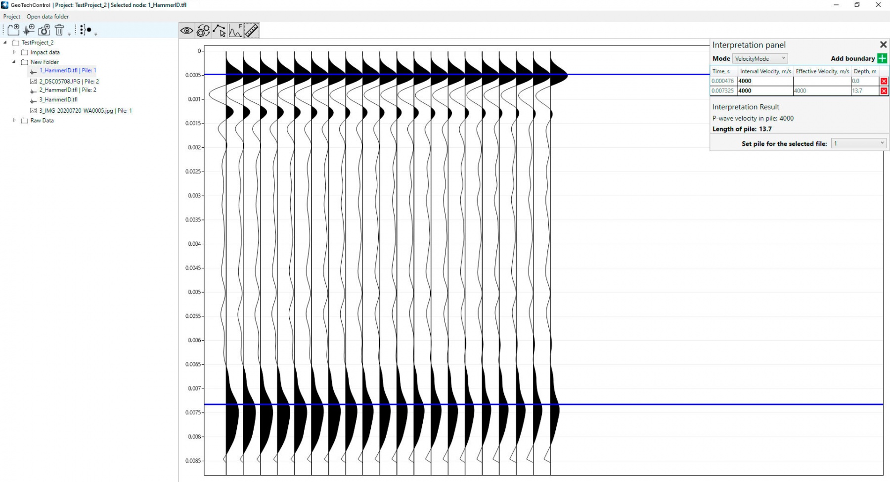
At the stage of interpretation of the processed data the program implements two calculation algorithms:
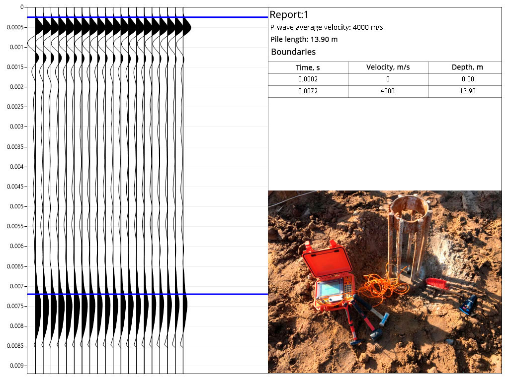
- Calculation of pile depth by interval seismic wave velocity
- Calculation of seismic wave velocity by the depth of the pile boundary
GeoTechControl implements a tool to process areal data and build attribute maps when working by the impact method on flat surfaces of foundations, tunnels and other building structures.
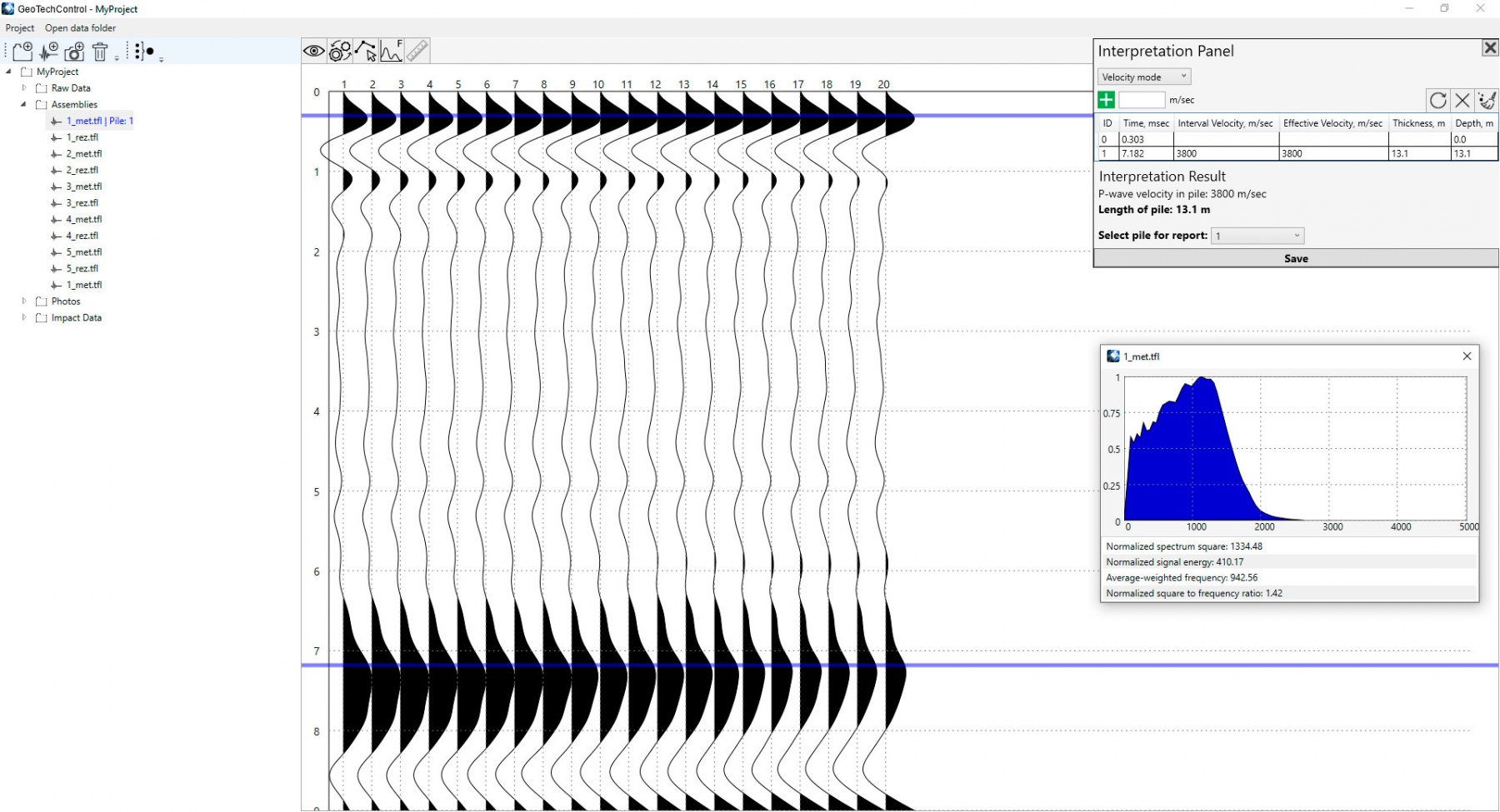
Analysis includes the calculation of following attributes:
- Normalized spectrum square
- Normalized signal energy
- Average-weighted frequency
- Normalized spectrum square to frequency ratio
At the end of all data processing and interpretation procedures, the program allows you to quickly generate a graphical report.
Processing graph for materials obtained by IDS-1


